
How to Hike Mt Zas, Naxos: The Highest Peak in the Cyclades
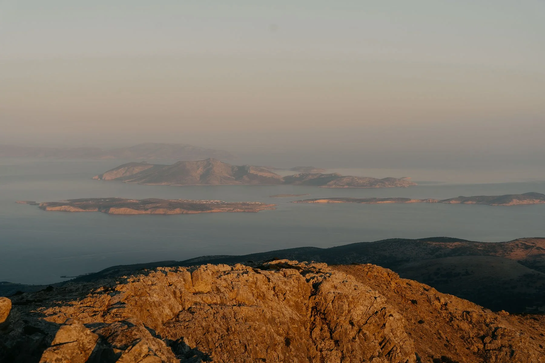
At 1,003 metres, Mt Zas is the highest peak in the Cyclades and the mountain where Zeus was supposedly raised. We hiked it for sunset on a local's recommendation, and it became one of the best things we did in Naxos. Here's everything you need to know: both routes, the Zas Cave, what to pack and when to go.
Growing up, Mim's grandma was obsessed with Greek mythology and passed all of it on over countless cups of tea. The two of them would sit for hours working through the gods and their grudges, stories that always seemed to revolve in some way around the almighty Zeus.
Twenty-something years later, here she was: beads of sweat running down her spine, standing on the mountain where Zeus was supposedly raised.
We hadn't planned to hike on Naxos. We'd come for the beaches, the villages and the food - climbing a mountain in the Greek summer seemed like a strange use of an island holiday.
But when we asked Meike and Jan at Flisvos for their single best recommendation on the island, the answer came back without hesitation: "Hike Mt Zas for sunset." They were completely right. It ended up being one of the best things we did in a month on Naxos.
At 1,003 metres, Mt Zas (also written Mt Zeus) is the highest peak in the Cyclades, and its bulk dominates the skyline from almost everywhere on the island.
The mythology is woven into the mountain itself: contrary to what many websites claim, Zeus wasn't born here (that's Crete), but this is the island where he was raised, in a cave partway up the mountain that you can still walk into today.
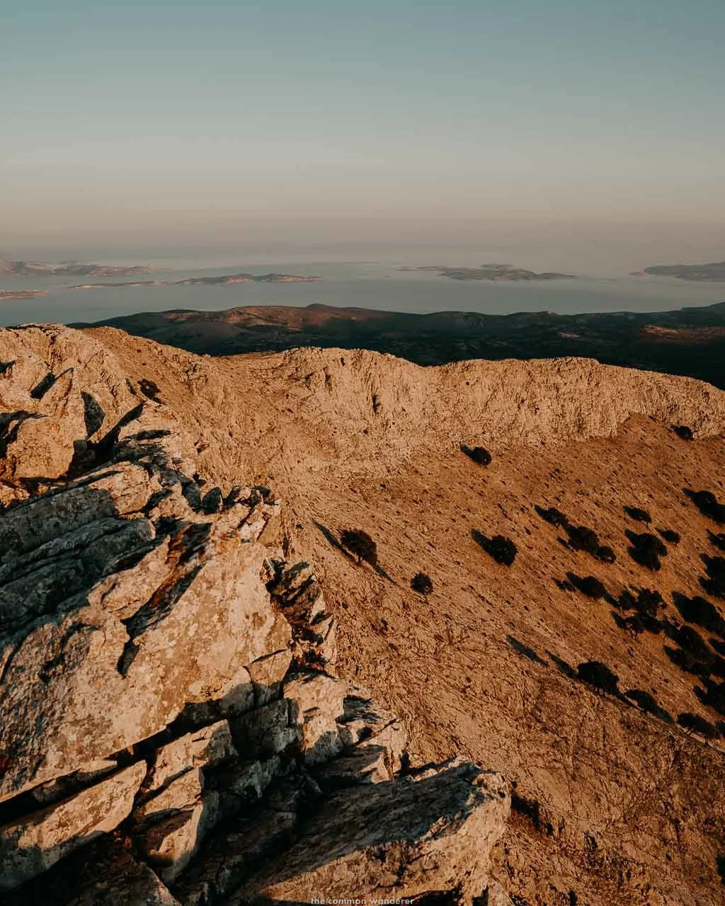
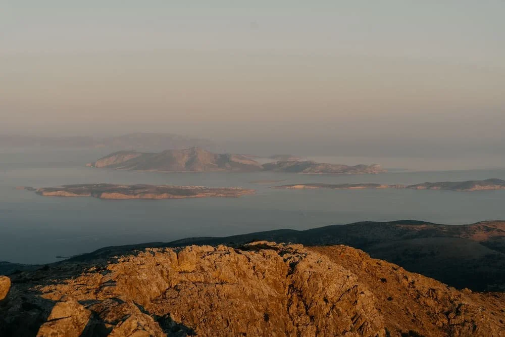
The summit delivers everything the mythology promises: 360-degree views across the whole of the Cyclades, the Aegean stretching in every direction, and on a clear day, the coast of Asia Minor on the horizon.
Watching the islands turn gold from up there as the sun dropped was one of those travel moments that stays filed away permanently.
This guide covers everything you need to hike Mt Zas: both routes, the Zas Cave detour, what to pack and the things we wish we'd known before setting off.
LOVE OUR PHOTOS? Edit like us with our European Summers Preset Packs, and mobile video filters, inspired by the warm hues and vibes of summers spent in Europe
MT ZAS HIKE AT A GLANCE
WHAT | The highest peak in the Cyclades at 1,003m, with 360-degree summit views over the islands
WHERE | Central Naxos, around 30 minutes by car east of Chora, just beyond Filoti
ROUTES | Two main options: Agia Marina Chapel (our pick) or Filoti via Aria Spring and Zas Cave
TIME | 3-4 hours return from Agia Marina. 4-5 hours return from Filoti including the cave.
DIFFICULTY | Moderate. Steep in sections with loose rock near the summit. Doable with kids in the early morning.
COST | Free
BEST TIME | Early morning to beat the heat, or sunset for the views (torch essential for the descent)
GETTING THERE | Car: 30 minutes from Chora, park at Agia Marina Chapel. Bus: Line to Filoti from Chora (€3.20), start from the village square.
PACK | 2L water minimum, proper shoes, sun protection, torch
BOOK YOUR NAXOS TRIP
WHERE TO STAY |Ammothines Cycladic Suites (luxury) · Naxian Utopia (mid-range) · Katerina Roza Apartments (budget)
Full breakdown in our Where to Stay on Naxos guide
TOURS & EXPERIENCES | Download the GetYourGuide app to book sailing trips, cooking classes, and island tours, with 5% off your first app booking
FERRIES | Book your ferry to Naxos from Athens or the surrounding Cyclades through FerryHopper
CAR HIRE |Car Hire is the easiest way to reach Naxos' quieter beaches, mountain villages and interior
GET CONNECTED | Set up an Airalo eSIM before you fly and have data ready to go when you arrive in Greece
TRAVEL INSURANCE | Get a quote from World Nomads, with cover available for 150+ activities
SPEND SMARTER IN GREECE | Get a Wise card to pay in Euros and skip foreign transaction fees
PLAN YOUR MT ZAS HIKE
WHERE IS MT ZAS?
Mt Zas sits in the heart of Naxos, around 30 minutes by car east of Chora, rising above the mountain villages of the island's interior.
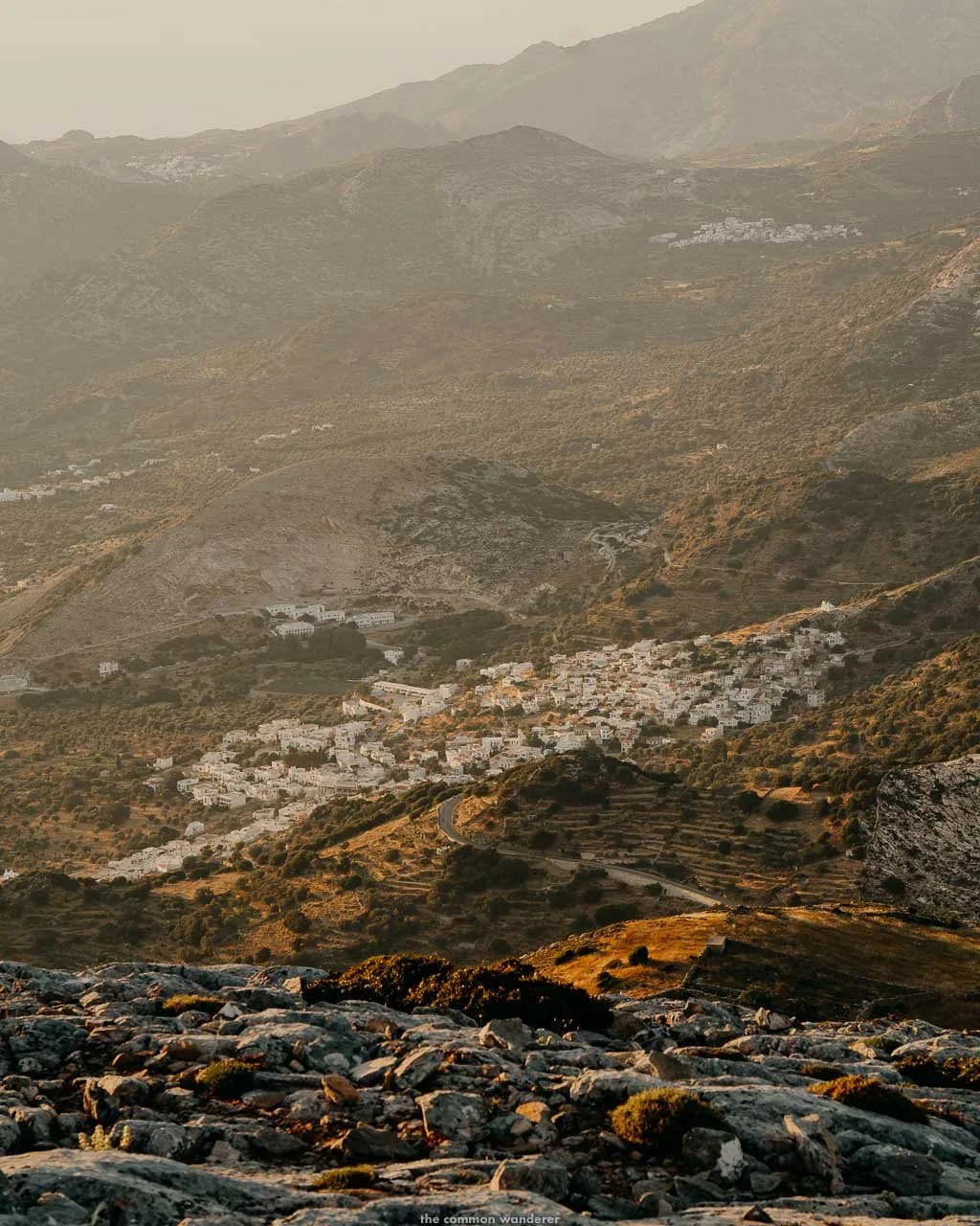
This is the part of Naxos most visitors never see: rocky peaks, cultivated valleys, centuries-old olive groves and Byzantine ruins scattered between villages that have been continuously inhabited for over a thousand years.
THE HISTORICAL CONTEXT
The mythology matters here.
Zeus, god of the sky, ruler and father of all gods and humans, was born on Crete but raised on Naxos, in a cave partway up this mountain.
The islanders named the peak after him, and the name has held for over two thousand years. Standing on the summit, with the entire Cyclades spread out below, it's not hard to understand why the ancients decided this was where the king of the gods grew up.
HOW TO GET TO MT ZAS
Getting to the trailhead is straightforward enough, with one navigation trap that caught us out. Both options below start from Chora and take around 30 minutes.
BY CAR, AGIA MARINA TRAILHEAD
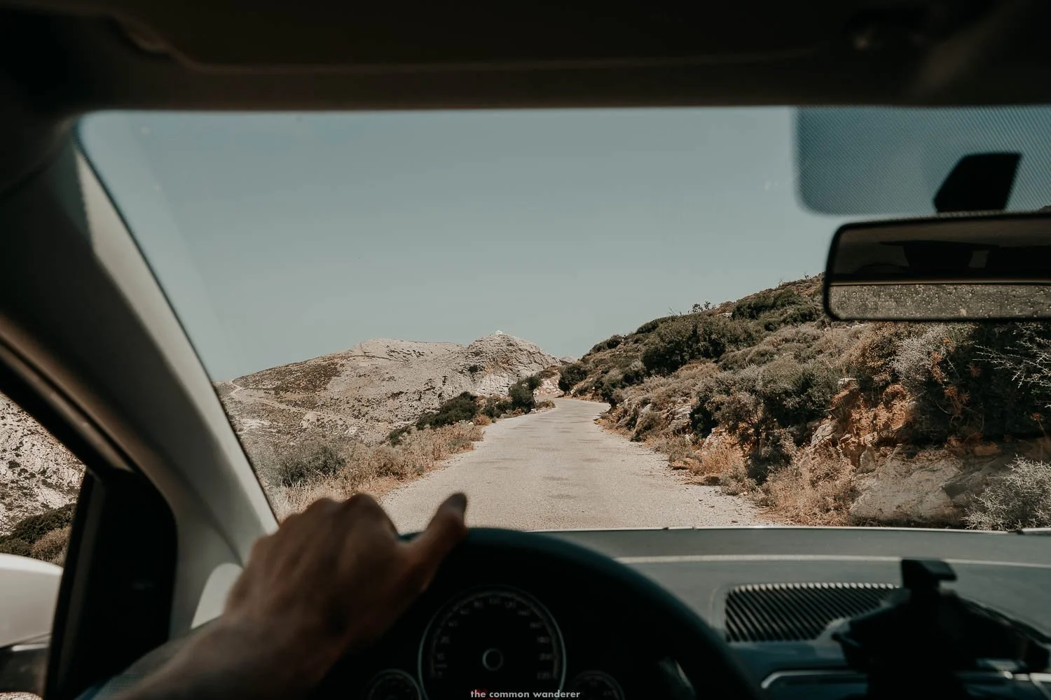
Around 30 minutes from Chora. Follow the main road inland toward Filoti, then continue on the mountain road past the village until you reach the small Agia Marina Chapel, where there's a small parking area (map).
Be careful with your navigation: search for the chapel on the mountain road, not the similarly named marina on the coast. We mapped the wrong one first and can confirm it costs you the better part of an hour.
BY CAR, ARIA SPRING TRAILHEAD
For the Zas Cave route, navigate to Aria Spring, reached via Ariés, around ten minutes' drive past Filoti.
There's a tiny car park near the spring, and on busier days, cars line the side of the road (map). A tip worth taking: park facing back downhill, so you're not trying to turn around when the road fills up later in the day.
BY BUS
The KTEL bus runs from Chora to Filoti (€3.20, around 30 minutes). From the village, start the hike from the steps opposite Taverna Baboulas on the main square (map).
Check return times before you set off, as the schedule thins out in the late afternoon, and you don't want to summit at sunset with no way home.
WHEN IS THE BEST TIME TO HIKE MT ZAS?
Two answers, depending on what you're after.
EARLY MORNING
The sensible choice, particularly in July and August. Start by 7:30 am, and the mountain itself blocks the rising sun for much of the ascent, keeping conditions comfortable even in peak summer.
You'll summit before the heat takes hold, descend before the trail gets busy and be back in Filoti for a late breakfast. There is almost no shade on either route, so in summer the midday hours aren't just unpleasant, they're a legitimately bad idea.
SUNSET
The magic choice, and the one we took on the advice of Meike and Jan at Flisvos.
Watching the Cyclades turn gold and then fade to dark from the highest point in the archipelago was one of the best experiences of our month on Naxos.
The trade-off is real, though: the entire descent happens in darkness, the trail becomes tricky to navigate and more than a little eerie, and the loose rock demands full attention by torchlight. Worth it, in our opinion. But go in with your eyes open and a proper torch in your bag.
Seasonally, the shoulder months are the sweet spot for hiking, as with everything on Naxos. Late April to early June and mid-September to October bring manageable temperatures, clearer trails and an island that's largely exhaled its summer crowds.
WHAT TO PACK FOR MT ZAS
WATER | 2 litres minimum per person. More in the summer. Aria Spring is the only refill point, and only on Route 2
PROPER SHOES | Hiking boots or sturdy runners. We did it in sneakers, and the loose rock on the summit section is ankle-breaking territory. Learn from us
SUN PROTECTION | Sunscreen, hat, sunglasses. There is no shade worth mentioning on either route
A TORCH | Non-negotiable if you're hiking for sunset, sensible insurance even if you're not. A phone torch got us down, but a head torch would have been considerably less stressful
SNACKS | There's nothing to buy past Filoti
THINGS TO KNOW BEFORE HIKING MT ZAS
At 1,003m, Mt Zas is the highest mountain in the Cyclades. The summit ridge is exposed, and the drop on the far side is sheer, so keep kids close at the top
The hike is steep but manageable for most fitness levels, and doable with children if you go early morning before the heat builds up
The trails are partly marked with red paint and cairns. Navigation is intuitive in daylight and genuinely tricky after dark
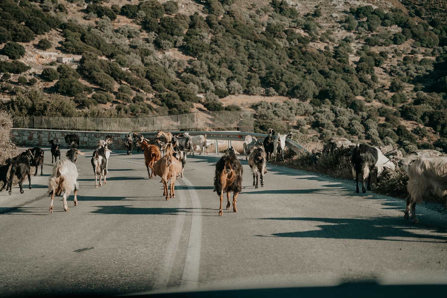
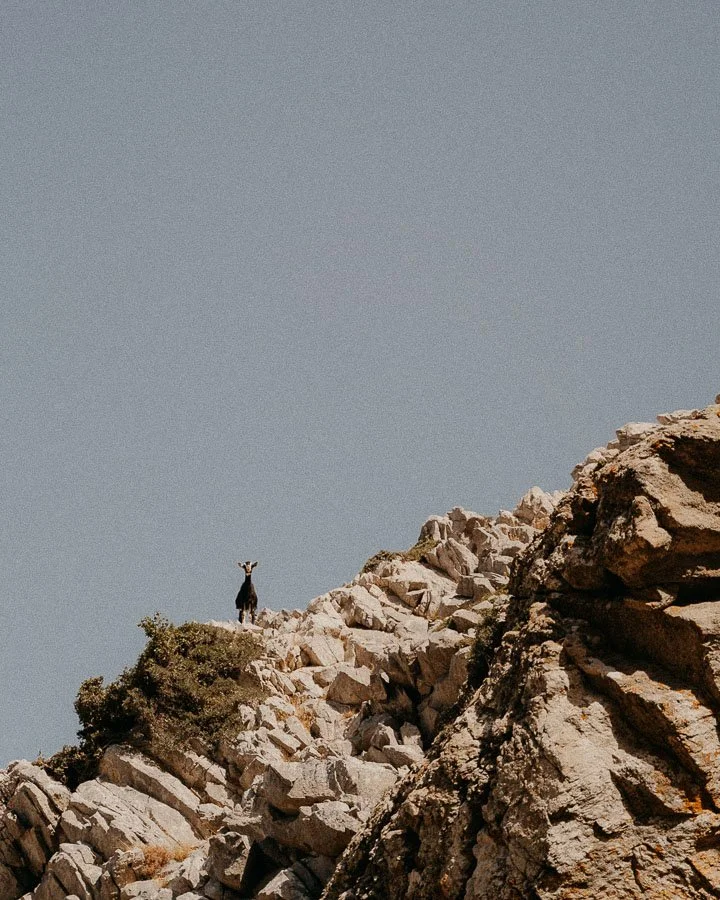
Goats are everywhere on the mountain. The bells are half the soundtrack of the hike
Phone signal is patchy in the upper sections. Download an offline map before you set off
There are no facilities at either trailhead. The nearest toilets, tavernas and shops are in Filoti, which is also exactly where you want to be for a post-hike meal. We'd suggest breakfast or lunch in the village square under the enormous plane tree
THE MT. ZAS HIKE
ROUTE 1: AGIA MARINA CHAPEL | THE EASIER, QUICKER ASCENT
The most popular and most direct route to the summit, and the one we took. Allow 3-4 hours return, covering around 6km with roughly 450m of elevation gain from the trailhead.
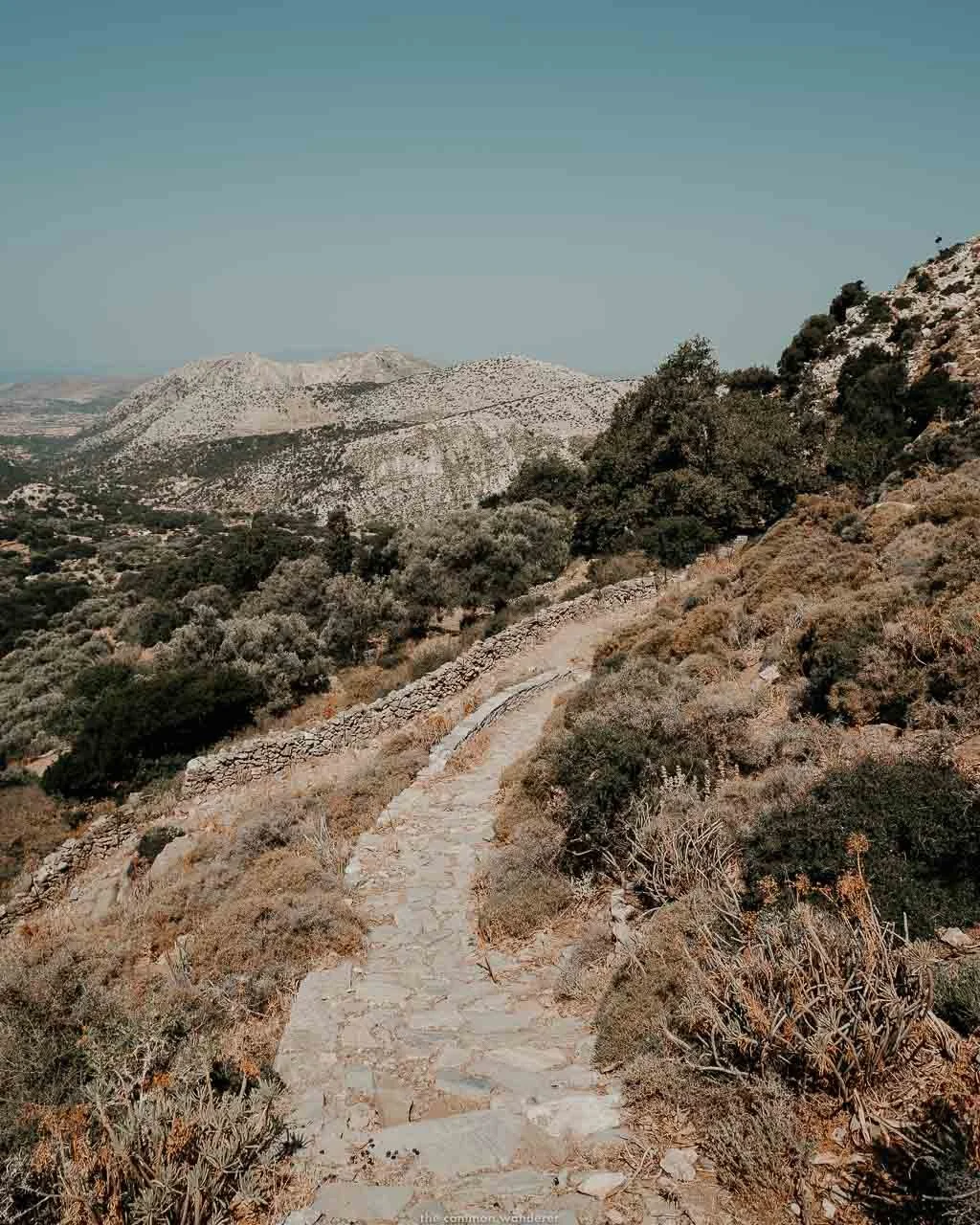
The trail breaks into three distinct stages. From the chapel, the first stretch is the gentlest: a forested path winding along the hillside, past scattered farmhouses and grazing animals, with the trail well-defined underfoot. Don't let it lull you.
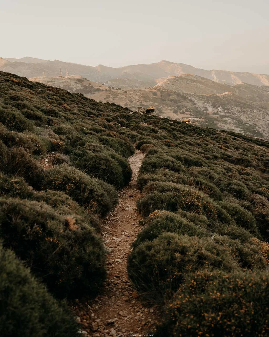
The second stage rises steeply through a craggy valley, the path narrowing through scrubby Mediterranean growth until it's little more than a dusty sliver between the rocks. Red paint markers and small cairns keep you on track, though the route is intuitive enough in daylight.
The final stage is the wide summit plateau: a steady climb over loose rock and dust to the ridge itself. This is the section that demands proper footwear, particularly on the way back down, as the rock shifts underfoot and the gradient is unforgiving on tired legs.
The summit ridge arrives suddenly, and the drop on the far side is sheer. The views are everything they should be: the whole of Naxos below, the Cyclades scattered across the Aegean beyond and, on the clearest days, the faint line of Asia Minor on the eastern horizon.
There is almost no shade at any point on this route. In summer, that fact should dictate your start time more than anything else.
ROUTE 2: FILOTI VIA ARIA SPRING AND ZAS CAVE | THE LONGER, RICHER ROUTE
The fuller version of the mountain, taking in a historic spring, the cave where Zeus was supposedly raised and a steeper, wilder ascent. Allow 4-5 hours return from Filoti, or around 2.5-3 hours if you drive to the Aria Spring car park and start from there.
From Filoti's main square, the trail begins at the steps opposite Taverna Baboulas, climbing out of the village to rejoin the road toward Apollonas before peeling off onto the mountain paths. If you'd rather skip the road section, drive to the tiny car park at Aria Spring instead and start the hike there.
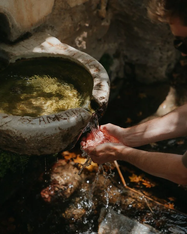
Aria Spring itself is the first stop: a historic natural well set beneath a large, leafy plane tree, pumping cold, fresh water straight from the mountain. It's completely safe to drink, so fill your bottles here. It's the last water source on the route, and on the way back down, it's the best-placed drink stop in the Cyclades.
From the spring, the trail follows the side of a small valley for 30-45 minutes over increasingly rocky ground before reaching a narrow ravine. The Zas Cave sits on the left: deep, dark and around 15 degrees cooler than the trail outside, which on a summer hike feels like stepping into a fridge. More on the cave below.
Past the cave, the route turns serious. The ascent through the ravine is steep and unstable in sections, with some genuine scrambling required before the trail joins the summit ridge near where the Agia Marina route arrives. This is the part that earns the route its reputation: harder work than Route 1, but more dramatic at every stage.
TIP | Starting from Aria Spring at 7:30 am, the mountain itself blocks the morning sun for most of the ascent, keeping the temperature manageable even in summer. Around an hour to the summit at a steady pace, 1.5 hours back down taking care on the steep sections, and you're in Filoti in time for a late breakfast
OUR EXPERIENCE: HIKING MT ZAS FOR SUNSET
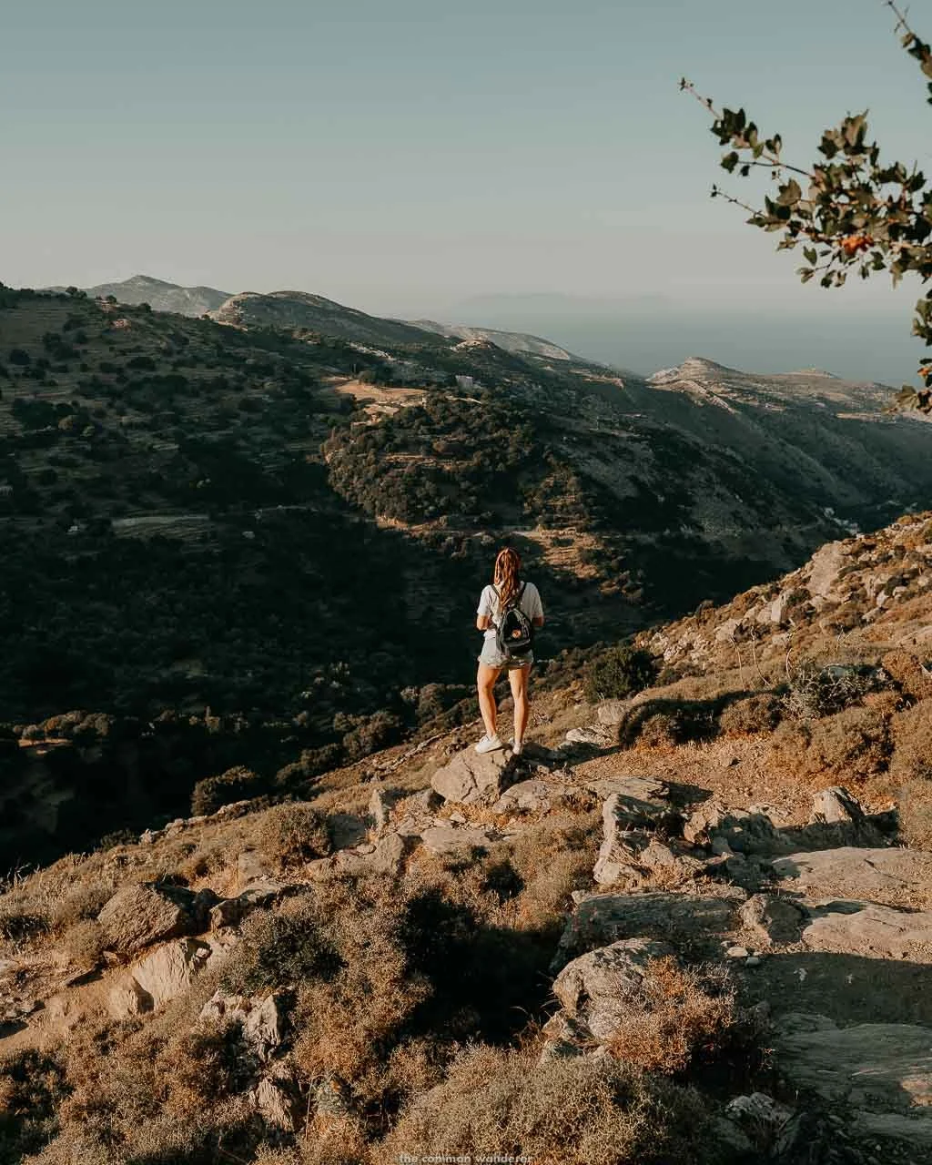
We started from Agia Marina Chapel in the late afternoon, with the worst of the day's heat behind us.
The trail begins gently, following a forested path along the hillside. Rustic farmhouses sit scattered to one side, and the smell and sound of farm animals drift across from the other. Goat bells ring somewhere out of sight.
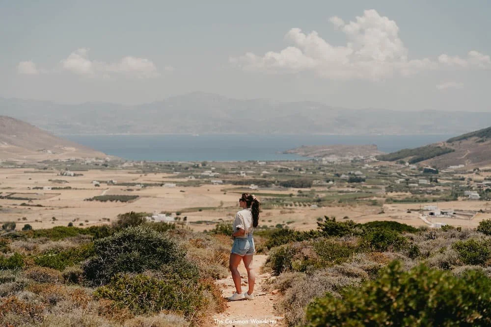
It doesn't take long for the gentleness to end. The trail rises steeply through a craggy valley, the views opening up to the left over Naxos' fertile interior, slips of blue ocean visible in the distance.
Then the path narrows through scrubby growth, a sliver of dusty trail almost overtaken by thick Mediterranean green. The final stretch is a wide plateau of loose rock and dust, rising steadily toward the summit ridge.
And then you're there, and the view stops you completely.
The summit sits on the edge of a sheer ridge, and from 1,003 metres the whole of the Cyclades unfolds below: the mountain villages, the farmland, the jagged peaks, and island after island scattered across the Aegean.
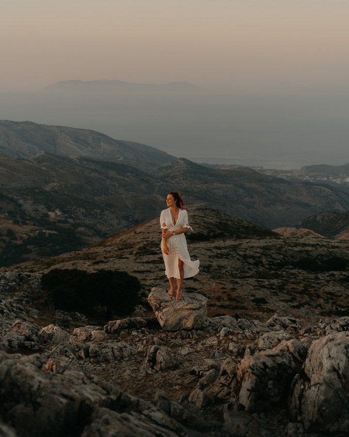
We watched the light turn gold, then pink, then fade entirely, the islands going dark one by one as a quiet calm settled over everything.
Staying for the full sunset, though, means descending in the dark.
The trail becomes tricky to navigate and more than a little eerie at night, and we did the last section by phone torch, picking our way down over the loose rock.
We'd do it again, but bring a proper torch and decent shoes. Sneakers were all we had, and the final section of the trail is ankle-breaking territory.
ZAS CAVE: WHERE ZEUS WAS RAISED
Partway up the mountain, tucked into the left side of the ravine, sits the cave where the king of the gods supposedly spent his childhood.
For fans of Greek mythology, this is the reason to choose Route 2. The cave runs around 150 metres deep into the mountain, and stepping inside is a strange and genuinely memorable experience.
There's not much to it in a literal sense: no signage, no lighting, no infrastructure of any kind. Just a dark, dense space with the temperature dropping around 15 degrees the moment you cross the threshold, which, after an hour of hiking in the Greek summer, feels like stepping into a fridge.
Whether it's the mythology or the silence or the cold, the atmosphere inside is palpable. Mim, raised on her grandma's Zeus stories, took her time in there.
Bring a torch if you want to explore beyond the entrance chamber, and watch your footing: the floor is uneven and slick in places.
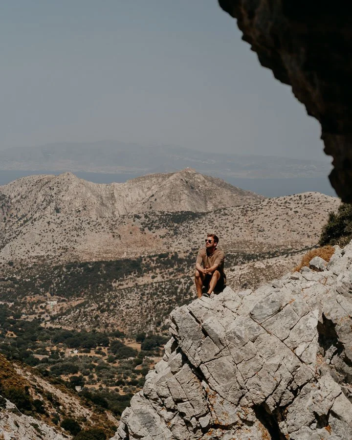
The views from the cave mouth are worth the stop on their own. Rocky terrain falling away below, olive trees scattered down the valley and the blue of the Aegean in the distance.
It's about as typically Naxian a view as a view gets, and the cave entrance is one of the only proper shade stops on the entire mountain, which makes it the natural place for a long break.
THE DETAILS
Where | Zas Cave, Naxos
Getting there | 30-45 minutes from the Aria Spring car park, following the valley trail to the ravine. The cave is on the left.
Tip | Do not attempt this stretch in the midday summer sun. The trail is exposed, rocky and unstable in sections, and the heat is genuinely punishing
TRAVEL INSURANCE | STAY SAFE IN GREECE
Honest take: if something goes wrong, a medical emergency, a hiking injury, or a scooter accident on a coastal road, travel insurance is the difference between a stressful story and a catastrophic one.
After 10+ years of full-time travel, here's what we use:
WORLD NOMADS | Offers travel insurance for independent travellers and intrepid families. Their policies offer coverage for more than 150 activities as well as emergency medical, lost luggage, trip cancellation and more.
GET A QUOTE | World Nomads
PLANNING A TRIP TO GREECE SOON?
Make the most of your time on Naxos with our essential Greece travel guides.
EXPLORE NAXOS
WHERE TO STAY ON NAXOS
Where to Stay on Naxos Island — hotels, villas and apartments across every budget and neighbourhood
MORE CYCLADES
DISCOVER THE BEAUTY OF GREECE WITH OUR GUIDES




Some of the links on this post are affiliate links.
If you choose to purchase using these links, we receive a small commission at no extra cost to you. Please know that by using these affiliate links, you're directly supporting The Common Wanderer to stay wandering, the running costs of the site, and our ability to provide you with free content to help you on your travels.
That, and you're officially a legend.
From what to see and do, through to the best restaurants and bars to enjoy your evenings, our Naoussa guide has everything you’re looking for.